Wow. What a July. The second wettest on record since 1871 in Portland. That’s a pretty impressive stat when you have 150 years of data to use as a comparison.
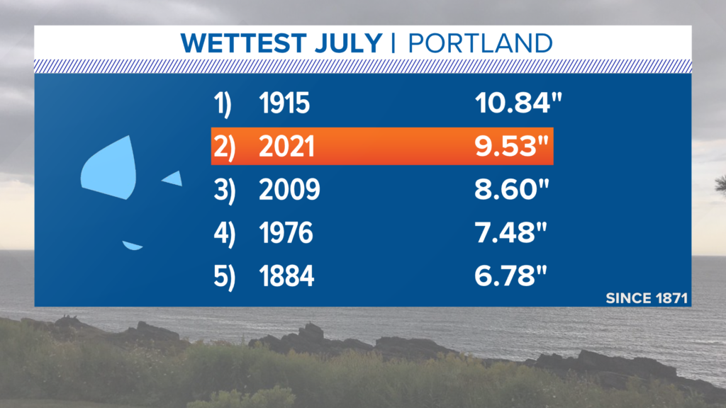
It was also fairly cool, but did not make the top 10 coolest Julys on record. It certainly fell in the bottom half, though.
August will follow closely in the footsteps of July.
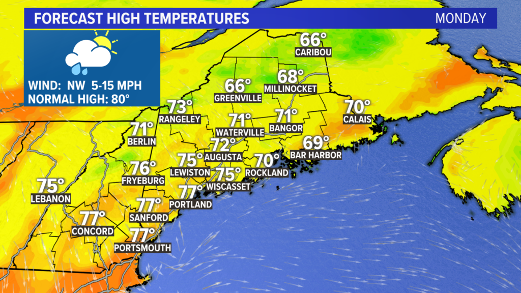
High temperatures Monday will be limited to the 70s, but some spots in northern Maine might struggle to make it out of the 60s.
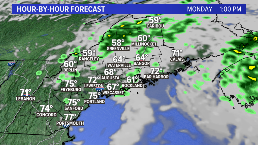
Showers are expected early Monday but clear out fairly quickly. Sunshine seems pretty likely in western Maine in the afternoon, so there should be at least some dry time to enjoy.
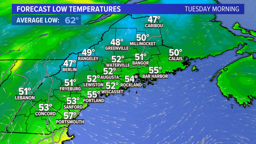
Behind this system, a reinforcing shot of cooler air will let temperatures free fall on Monday night. Widespread temperatures in the low to mid 50s are expected, but don’t be surprised to hear of some 40s mixed in.

In the afternoon, sunshine through high clouds will push temperatures into the mid to upper 70s. With humidity so low, it will feel like a fall day.
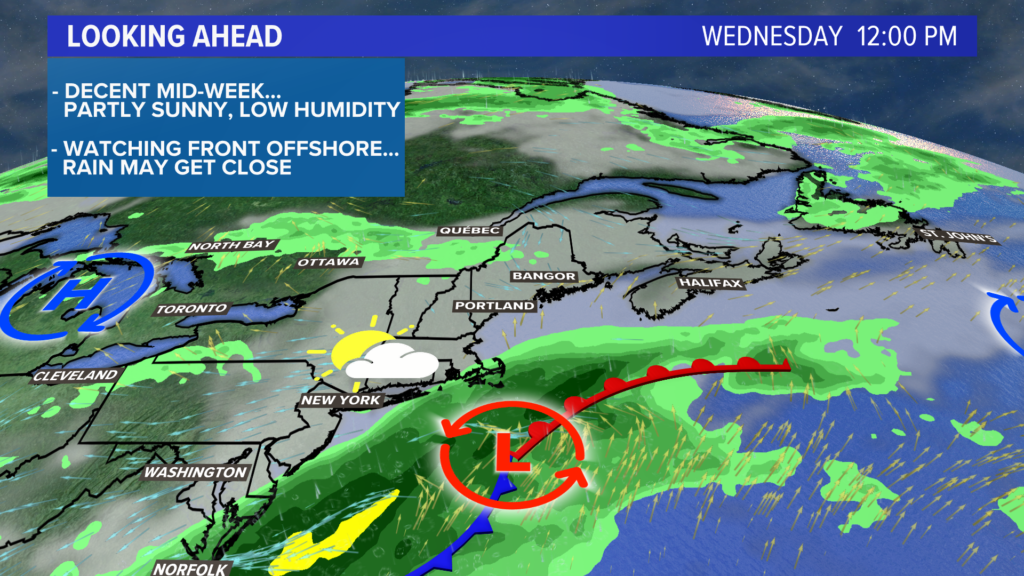
A weak front will cross Wednesday, but shower chances look pretty limited with it.
The bigger story will be low pressure off the coast.
For Thursday and Friday, expect temperatures to stay in the 70s with a risk for showers both days.
Saturday begins the much-awaited warming trend, with 80s expected.
Maybe August will treat us to some great beach days after all.
For more forecast info, follow me on Twitter, @MikeSliferWX.
Comments are no longer available on this story