The pattern has taken a turn for the tumultuous, with active weather returning to Maine later this week.
This is still a good thing, though. Rainfall deficits are pretty large so far this year.

Portland and Augusta both have deficits over 3″. To make matters worse, abnormally dry conditions have popped up on the drought monitor for over half of Maine.

Some spots in York and Oxford counties never completely recovered from last year’s drought, either.
Before the rain moves in, though, Maine gets treated to a couple of warm and dry days.

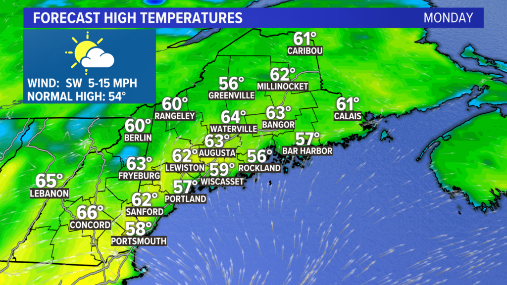
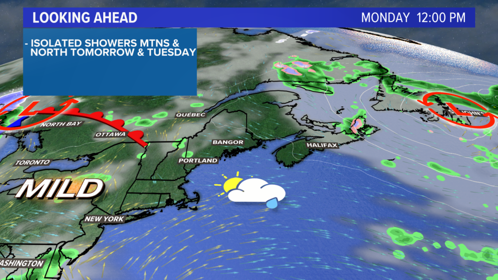
Monday will be pretty nice. High temperatures inland make it into the low 60s. At the coast, an afternoon seabreeze will put highs in the upper 50s.

With just a little bit of energy, a couple of showers or a weak thunderstorm could pop up over western Maine in the afternoon.

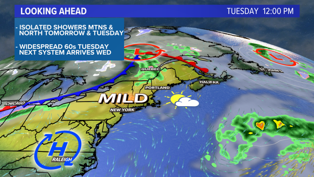
Milder air builds Tuesday, putting everyone into the 60s. Inland areas will be closer to 65° for high temperatures with partly sunny skies.
Similar to Monday, a shower could pop up inland later in the afternoon.

It gets a little more interesting during the middle of the week.
A storm system will be moving toward Maine, eventually bringing some rain showers through the late morning or early afternoon.
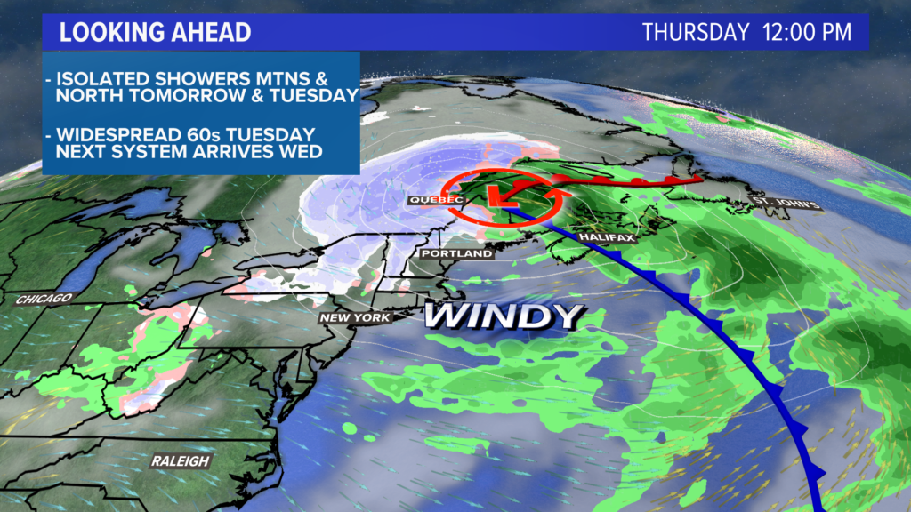
Heavier rain is expected late Wednesday into Thursday morning.
The mountains might even see more snow, as colder air gets wrapped back into the system.

Expect wind gusts to pick up later Wednesday and stay strong through Thursday. Showers wrap up Thursday afternoon, followed by a dry day Friday.
Wind gusts stick around on Friday, too. Temperatures will be in the 40s Thursday and 50s Friday.
Damaging wind seems unlikely at this time but check back for more updates.
The next chance of rain could be lingering for Sunday.
For the latest and greatest on the forecast, follow me on Twitter, @MikeSliferWX.
Comments are no longer available on this story