
The Federal Emergency Management Agency has decided to abandon disputed draft maps showing the flood risk in areas of Cumberland and York counties.
The agency will now use a new system in the hope of creating more accurate maps, after property owners and local officials came forward to say the maps misrepresented the flood risk in many areas and would have required the property owners to get unneeded additional flood insurance.
Following a public meeting last week at South Portland High School in which residents from Cape Elizabeth, Scarborough and South Portland were presented with information about new preliminary flood maps, FEMA officials on Friday decided to pull the draft maps. The decision comes as the time for appealing the flood maps was coming to an end.
The flood risk maps for Cumberland and York counties will now be replaced with maps created using a new FEMA program, Risk Mapping, Assessment and Planning, or Risk MAP.
“The Risk MAP program will allow FEMA to sit down with communities to work collaboratively with communities and figure out what is best in terms of the flood maps,” South Portland City Manager Jim Gailey told the City Council before the council began deliberating at its Oct. 4 meeting.
According to FEMA, Risk MAPs will allow the organization to “work with officials to help use flood risk data and tools to effectively communicate risk to citizens and enable communities to enhance their corresponding mitigation plan.”
The whole idea of updating the maps in the first place, said Tim Hillier, of CDM, one of FEMA’s mapping partners, is to manage flood risk.
“The goal here is to prevent risk,” he said at the Sept. 29 community meeting in South Portland. “It is to make sure people are planning and building appropriately to avoid flood risk.”
Gailey said he, along with representatives from other coastal communities, were made aware of the decision through a teleconference call with FEMA officials.
The communities will now be asked to co-sign a “project charter” and work closely with FEMA to improve the flood risk maps using all available local data. FEMA will then reissue the maps and reopen an appeals period.
Before the work begins, Gailey said South Portland was scheduled to host a meeting on Oct. 6 for representatives from the coastal communities “to get on the same page” about working with FEMA on the Risk MAP program before signing the charter.
Withdrawing the maps comes approximately 30 days into a 90-day period for property owners and communities to appeal the draft maps. Over the summer months a number of communities in the area, including Portland, South Portland and Cape Elizabeth, hired Bob Gerber of Sebago Technics to review FEMA’s maps in the communities.
Gerber said he was able to come up with much different flood risk numbers because he used data that FEMA didn’t take into account, such historic weather data and how waves-and flood risk-are lessened because of Casco Bay’s many islands and underwater ledges.
One of the most impacted and controversial spots, Gerber said, was the Loveitts Field area near the South Portland/Cape Elizabeth line.
David Wakelin, of Bay Road in South Portland, is one of the homeowners in that part of the city who strongly disagrees with what FEMA was proposing with the draft maps.
His house, he said, sits 40 to 50 feet above the flood zone and has been in that location since 1906.
“I think the maps are way off in terms of our area,” he said.
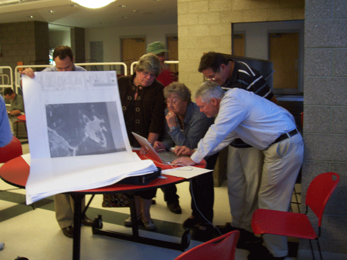 Residents review FEMA flood plain maps in South Portland on Sept 29., two days before FEMA pulled the maps. The agency will now work with local and state officials to create new maps. (Staff photo by Michael Kelley)
Comments are no longer available on this story