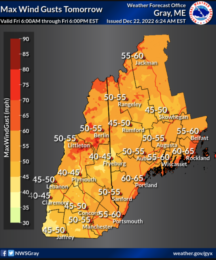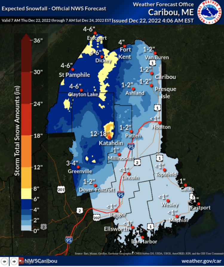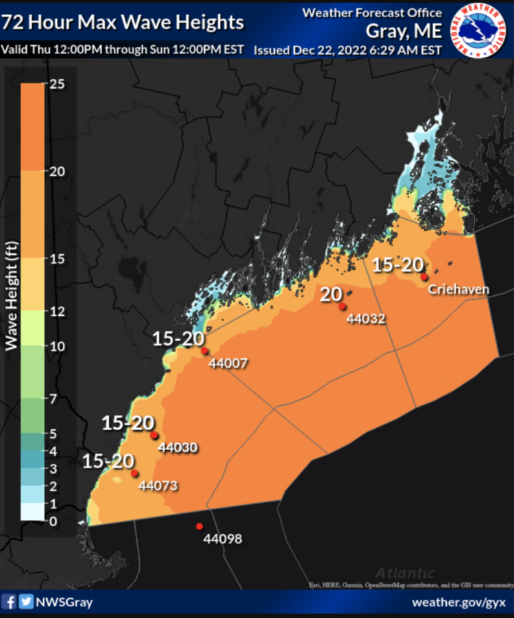
Near hurricane-force wind gusts and 10-20+ foot seas, along with flooding rains highlight a powerful storm incoming tomorrow.
Here’s what you can expect:
When? Late tonight through tomorrow night.
What’s coming? Wind gusts of more than 50 to 75 mph, rainfall of more than 2 inches, storm surge of more than 20 feet, several inches of snow in the mountains before it changes to rain, and flash freezing on Friday, which will have major impact on holiday travel.

Where? The highest wind gusts will be along the Maine coastline, especially mid coast and down east.
Another thing to watch is high tide on Friday morning in Portland. If we see a 14-foot tide, that would be one of the highest ever recorded, according to the National Weather Service:
14.17 feet set on 2/7/1978 (set in the blizzard of `78)
13.98 feet set on 1/9/1978
13.79 feet set on 1/4/2018
13.40 feet set on 1/4/1990
13.31 feet set on 3/16/1976

Comments are no longer available on this story