On Saturday, Portland broke the daily high temperature record. If you spent even a minute outdoors on Saturday, that won’t be a shock.

The old high of 51° was set in 1984. The new high temperature was 54°.
My driveway is thankful for it, though. I was finally able to chip away all of the ice and sleet from the last couple storms!

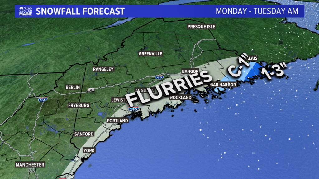
Monday is a “back to reality” kind of day.
High temperatures will only be in the teens and 20s.

With a storm out in the Gulf of Maine, a few snow showers will be possible, too. I do not expect much accumulation, if any.

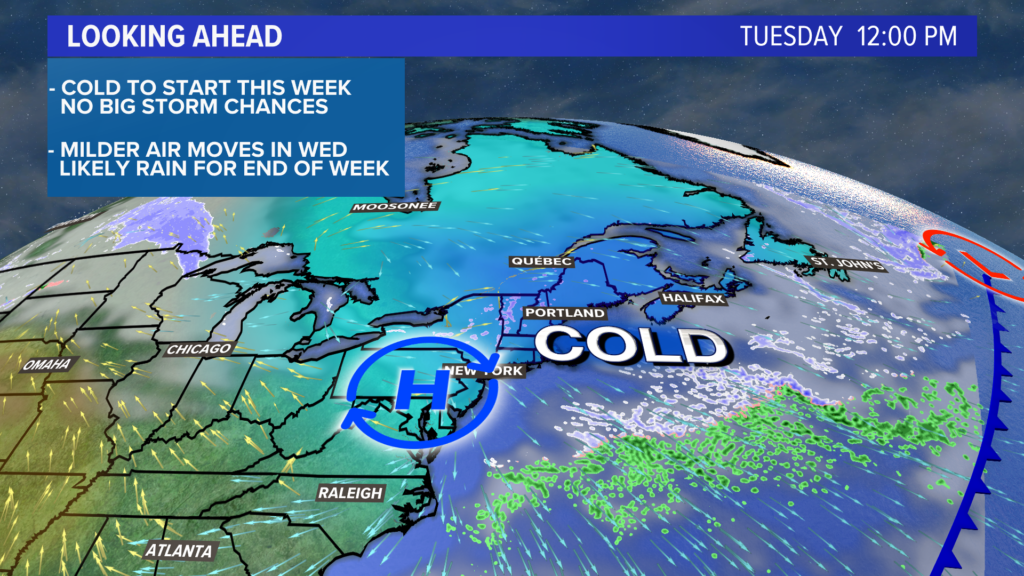
The core of the cold air drifts east on Tuesday, but Maine starts off frigid. Temperatures will be near or below zero in the morning.
Breezy conditions in the afternoon will not make it feel very warm, either, despite temperatures returning to the mid to upper 20s.

Wednesday will be the transition day in the forecast.
Notice all of that milder air off to the west…
That starts to build in, but there will still be some lag time.
High temperatures return to the mid 30s under partly sunny skies.

This is the day you’ve been waiting for. If you like warmer weather, at least.

Temperatures are poised to really climb, with record highs possible again.
Most will probably end up well above 45°, with a handful of mid 50s possible.
The later the rain begins, the warmer the day will be. Without a big snow pack, that will allow temperatures to climb a little more quickly than last Saturday.
Rain will begin later on Thursday, though.
Rain continues into Friday and showers could even wrap up as a bit of snow.
Next weekend also looks like a “back to reality” situation. Time to buckle up and ride this roller coaster of temperatures.
For more weather info, follow me on Twitter, @MikeSliferWX.
Comments are no longer available on this story