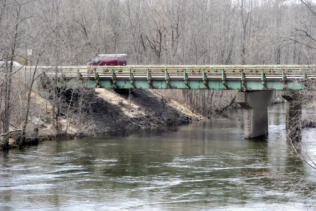
PORTLAND — When the Maine Turnpike Authority rebuilds a bridge over the Presumpscot River this summer, it will create a walking path under the bridge and give legal access to the public. While the 10-foot-wide path is modest in scale, the improvement is significant because it removes a barrier to the effort to create a 28-mile-long trail from Sebago Lake to Casco Bay.
Building trails in an urban area is challenging because of man-made obstacles, said Nan Cumming, executive director of Portland Trails. She said her group is grateful to the authority for making room for the trail.
“We have overcome a major hurdle,” she said.
The Sebago to the Sea Trail coalition, a relatively new group of more than a dozen nonprofits and agencies, has been working for more than two years on the project.
The idea is to weave together existing hiking trails, bike paths and sidewalks and build some new trails in order to create a continuous walkway between Sebago Lake and Portland’s East End Beach.
The group this year plans to install its first signs marking the trail. So far, 80 percent of the trail is finished, said Tania Neuschafer, who is coordinating the Sebago to the Seas Trail project.
There are large gaps in downtown Westbrook, Portland’s Back Cove neighborhood and the area near where the Maine Turnpike crosses the Presumpscot River.
Next year, when the bridge is finished, Portland Trails will build a new section of trail, starting at Riverside Street near the Riverside Municipal Golf Course and ending nearly a mile away downstream on the Presumpscot River.
Trail builders have been extending the trail upstream from below Route 100 and downstream from Westbrook. The turnpike has been an obstacle, Cumming said.
“We are coming from this direction, and we are coming from this direction,” she said, running her finger along a map and ending at the turnpike bridge. “And this is a real pinch point.”
Construction on the turnpike bridge is slated to begin in May. The 18-month project will widen the southbound side from 30 feet to 54 feet and the northbound side from 42 feet to 65 feet.
Turnpike spokesman Dan Paradee said the bridge will remain open with two lanes of traffic in each direction. The northbound on-ramp from the Falmouth spur is scheduled to be closed in mid-June.
Currently, there is a narrow path under the bridge that is used by people on mountain bikes. There is no legal access. Crews will cut into the slope under the bridge to build a pathway that will be 200 feet long.
Paradee said the authority had not planned to build a path. It agreed to build the path, he said, after meeting with trail advocates late last year.
The outcome shows the value of reaching out to the community, he said. “It’s always good that people are communicating so we don’t build a bridge in a vacuum,” he said.
Staff Writer Tom Bell can be contacted at 791-6369 or at:
tbell@pressherald.com
Send questions/comments to the editors.


Comments are no longer available on this story